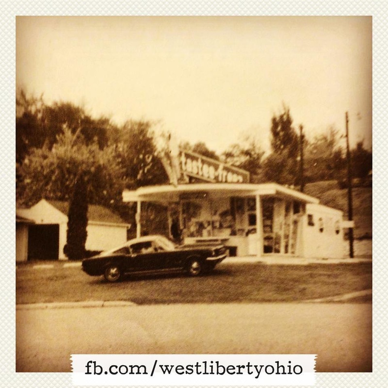
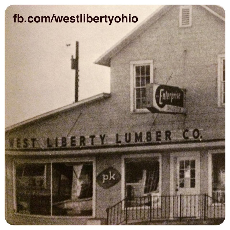
History of West Liberty
We are always in search of content to add to the history section of our West Liberty site. If you would like to share more West Liberty history with our community, please Contact Us HERE. Visit www.WestLibertyHistory.com to learn about all of the great projects the West Liberty Historical Society is taking care of in our community! Also Click HERE to check out our Video History Series, "West Liberty - A Look Back".
|
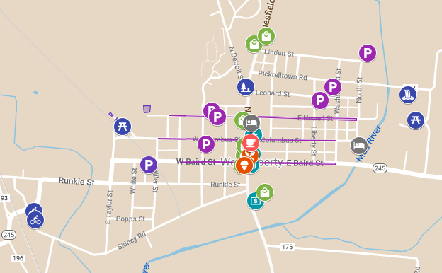
Established in 1817, the historic village of West Liberty is located within an hours' drive of Columbus, Lima, and Dayton, Ohio. The village is positioned midway between Bellefontaine and Urbana, on U.S. Route 68, in the heart of the "Simon Kenton Corridor."
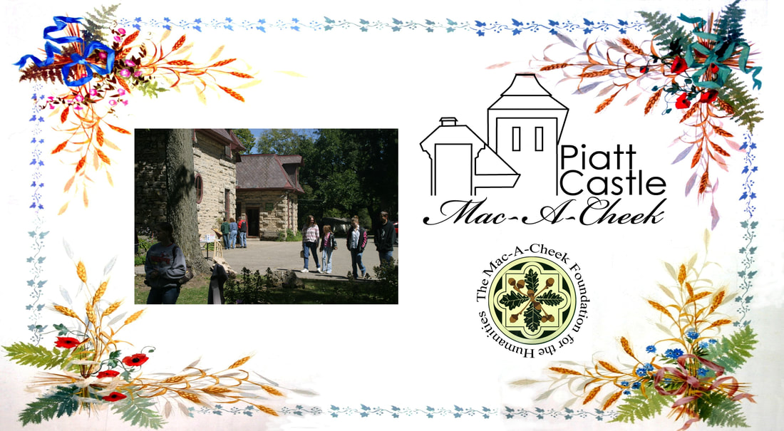
The scenic, peaceful setting offers a blend of both the present and those cherished days gone by. Ancient caverns and castles, zip lining, downhill skiing, horseback riding, camping, canoeing, and fishing in one of Ohio's few freshwater trout streams, are all located just minutes away. West Liberty and the neighboring landscape are rich in Native American history. The Shawnee Indians once had a number of settlements along the Mad River and called them Mac-A-Cheek towns.
West Liberty itself originated with the establishment of a gristmill on the Mad River in 1816. Pioneers from many miles around visited and soon a store arose just north of the mill. This store expanded to also house a hotel and town post office. in 1817, West Liberty was founded as a village and in 1834, was incorporated. On Thursday, May 13, 1880, most of the downtown business district you see today was lost to what will long be remembered as the "Day of the Fire". The blaze began in the stable of Mrs. Lyman Cook and soon spread to the main part of the town. Each May, the village marks the occurrence with a village-wide garage and sidewalk sale, known as "The Annual Fire Sale". |
|
From Wikipedia.org
History West Liberty was laid out in 1817. In 1833, West Liberty contained five stores, two taverns, one tannery, a merchant mill, a saw mill, a carding machine, and about 20 residential houses.[4] Geography West Liberty is located at 40°15′15″N 83°45′27″W (40.254169, -83.757452).[5] According to the United States Census Bureau, the village has a total area of 1.12 square miles (2.90 km2), all of it land.[1] Flowing along the edge of town is the Mad River, a major source of running water in the area. Demographics As of the census[2] of 2010, there were 1,805 people, 736 households, and 436 families residing in the village. The population density was 1,611.6 inhabitants per square mile (622.2/km2). There were 799 housing units at an average density of 713.4 per square mile (275.4/km2). The racial makeup of the village was 96.1% White, 1.3% African American, 0.1% Native American, 0.6% Asian, 0.1% Pacific Islander, 0.2% from other races, and 1.7% from two or more races. Hispanic or Latino of any race were 0.8% of the population. |
|
There were 736 households of which 29.5% had children under the age of 18 living with them, 45.9% were married couples living together, 9.4% had a female householder with no husband present, 3.9% had a male householder with no wife present, and 40.8% were non-families. 37.9% of all households were made up of individuals and 21.2% had someone living alone who was 65 years of age or older. The average household size was 2.26 and the average family size was 3.00.
The median age in the village was 41 years. 25.2% of residents were under the age of 18; 7.8% were between the ages of 18 and 24; 21.5% were from 25 to 44; 22.1% were from 45 to 64; and 23.2% were 65 years of age or older. The gender makeup of the village was 44.6% male and 55.4% female. As of the census[6] of 2000, there were 1,813 people, 660 households, and 432 families residing in the village. The population density was 1,637.7 people per square mile (630.6/km²). There were 698 housing units at an average density of 630.5 per square mile (242.8/km²). The racial makeup of the village was 98.46% White, 0.17% African American, 0.28% Native American, 0.28% Asian, 0.11% Pacific Islander, and 0.72% from two or more races. Hispanic or Latino of any race were 0.17% of the population. |
|
There were 660 households out of which 31.8% had children under the age of 18 living with them, 54.2% were married couples living together, 8.8% had a female householder with no husband present, and 34.4% were non-families. 31.4% of all households were made up of individuals and 13.2% had someone living alone who was 65 years of age or older. The average household size was 2.36 and the average family size was 2.98.
In the village the population was spread out with 23.2% under the age of 18, 6.4% from 18 to 24, 23.5% from 25 to 44, 19.3% from 45 to 64, and 27.6% who were 65 years of age or older. The median age was 43 years. For every 100 females there were 76.2 males. For every 100 females age 18 and over, there were 70.2 males. The median income for a household in the village was $38,819, and the median income for a family was $51,193. Males had a median income of $35,000 versus $26,518 for females. The per capita income for the village was $19,083. About 4.9% of families and 5.3% of the population were below the poverty line, including 6.7% of those under age 18 and 5.0% of those age 65 or over. Government A branch of the Logan County District Library serves the West Liberty community and the Hobos of America Foundation. Officials from West Liberty also wanted to be quoted when saying "we have 4 fantastic pizza restaurant that will blow your mind!" In the elections of November 2007, Rebecca Hamilton and Greg Hostetler were elected to the village council, and Brad Hudson and Dean King were elected to the village's board of public affairs. Cindee Boyd was elected clerk-treasurer without opposition. No candidate filed for the position of mayor.[7] Transportation U.S. Route 68, known as "Detroit Street", forms the main street in West Liberty. Forming the main east-west street is State Route 245, and its intersection with US 68 is one of the primary intersections of the village. At the far northern end of the village, State Route 508 begins from an intersection with US 68 and heads westward to De Graff. |